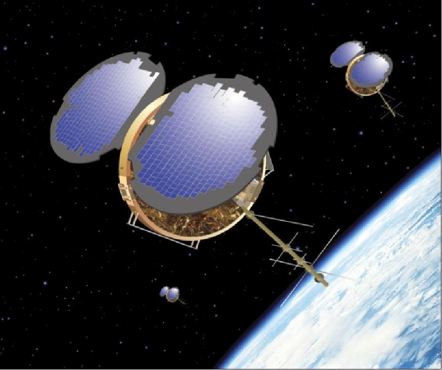
COSMIC-1
FormoSat-3 (Formosa Satellite 3) / COSMIC-1 (Constellation Observing System for Meteorology, Ionosphere and Climate)
 The FormoSat-3/COSMIC-1 (Formosa Satellite 3 / Constellation Observing System for Meteorology, Ionosphere and Climate), is an international collaborative project between NSPO (National Space Program Office) of Taiwan and UCAR (University Corporation for Atmospheric Research) of the United States of America. Initiated in December 1997, the project will launch a LEO constellation of six microsatellites to collect atmospheric remote sensing data for operational weather prediction, climate, ionospheric (space weather monitoring), and geodesy research. NSPO is the prime sponsor and owner of the satellites. UCAR, located at NCAR in Boulder, CO, is primarily sponsored by NSF (National Science Foundation). Other partners in the project include JPL, NRL, USAF, NOAA, CWB (Central Weather Bureau of Taiwan), industry from both countries, universities, and other research organizations from the US, Taiwan, and other countries.
The overall objective of FormoSat-3/COSMIC-1 is to extend the low-cost research approach of refractive GPS radio occultation measurements (to derive important weather and climate research parameters, including atmospheric temperature, moisture, and pressure), that began with the GPS/MET instrument on Microlab-1 (launch April 3, 1995), to the next step by testing the ability of a constellation of six "ROCSat-3/COSMIC microsatellites with GPS/MET heritage" to provide the data needed to fully evaluate the impact of this promising new observational tool.
A goal is also to demonstrate the utility of atmospheric/ionospheric limb soundings in operational weather prediction, space weather monitoring and space geodesy. In addition to carrying an advanced version of the JPL-developed GPS receiver for occultation measurement, each satellite will carry two tiny, simple secondary instruments (tri-band-beacon and photometer) which synergistically enhance the accuracy and utility of the ionospheric observations. A global data collection network and operations center will process space and ground observations and deliver products to users in real-time for operational impact studies.
Product List:
- Level 1b
- Atmospheric excess phase
- Level 2
- Atmospheric profiles
- Level 3
- The planetary boundary layer height
- Total Column Water Vapour
- Tropopause Height
