PlanetiQ
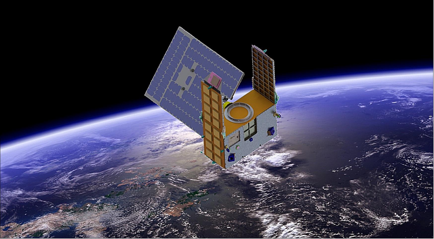
PlanetiQ GNOMES (GNSS Navigation and Occultation Measurement Satellites)
 PlanetiQ was founded to build, launch, and operate a commercial constellation of the highest quality HD GPS-RO weather satellites, with a full constellation of 20 Low Earth Orbit (LEO) satellites.
PlanetiQ’s satellites carry the fourth-generation “Pyxis” radio occultation (RO) sensor. Pyxis builds on the heritage of the gold standard for RO sensors.
This state-of-the-art, next-generation RO sensor is smaller, lighter, and consumes less power than prior versions, but has nearly 3x the data collection capability since it receives signals from all four world-wide GNSS constellations (GPS, GLONASS, Galileo and Beidou). Pyxis is the only GPS-RO sensor in such a small package that is powerful enough to provide more than double the amount of data available from the next-best GPS-RO sensors currently on orbit, and to routinely probe down into the lowest layers of the atmosphere where severe weather occurs.
- Level 1b
- Atmospheric excess phase
- Level 2
- Atmospheric profiles
- Level 3
- The planetary boundary layer height
- Total Column Water Vapour
- Tropopause Height
